History of Kinder Cemetery
The history of Kinder Cemetery is, to a great extent, the history of a local Baptist church and its members. It lies in Cahokia Township, Macoupin County, Illinois, on land first settled nearly two centuries ago.
Early history
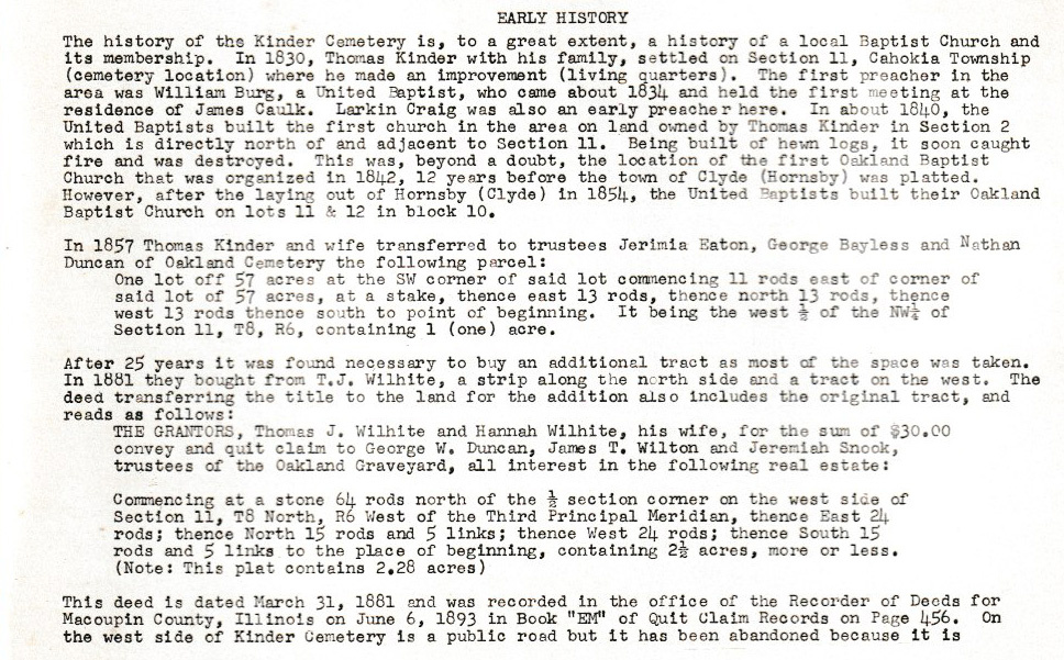
In 1830, Thomas Kinder and his family settled on Section 11 of Cahokia Township — the site of the present cemetery — where he made an improvement and built the family's living quarters. The first preacher in the area was William Burg, a United Baptist who came about 1834 and held the first meeting at the residence of James Caulk. Larkin Craig was another early preacher here.
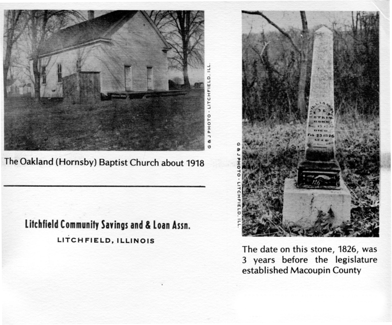
Around 1840, the United Baptists built the first church on land owned by Thomas Kinder in Section 2, directly north of and adjacent to Section 11. Built of hewn logs, it soon caught fire and was destroyed. This was, beyond a doubt, the location of the first Oakland Baptist Church, organized in 1842 — twelve years before the town of Clyde (Hornsby) was platted. After Hornsby was laid out in 1854, the United Baptists built their Oakland Baptist Church on lots 11 and 12 in block 10.
The founding families
A first-hand account of the township's earliest years survives in a Historical Sketch of Cahokia Township written by Henry B. Blevins — by his own account the first white child born in the township, in 1834 — and read to the Macoupin County Historical Society in 1908. He recalled that a permanent settlement took hold in the fall of 1831, when John and Thomas Kinder, Amos Snook, and Peter Karnes built cabins and entered land; Tarleton Blevins, Lodowick Jones, and Nathan Duncan followed in 1833. Many of these founding families — Kinder, Snook, Karnes, Duncan, and Blevins among them — rest in this cemetery today, including Amos Snook and Thomas Kinder themselves.
Blevins remembered a community of strong anti-slavery conviction, served in its early decades by only two denominations — the Methodist and the “Emancipating Baptist.” It was from this local Baptist tradition that the Oakland Baptist Church, and in turn this cemetery, would grow.
Source: Henry B. Blevins, “Historical Sketch of Cahokia Township, Macoupin County, Illinois,” Journal of the Illinois State Historical Society, Vol. 8, No. 4 (January 1916), pp. 581–587 — read it on JSTOR.
The cemetery land
In 1857, Thomas Kinder and his wife transferred to trustees Jerimiah Eaton, George Bayless, and Nathan Duncan of Oakland Cemetery a one-acre parcel — the west half of the northwest quarter of Section 11, Township 8, Range 6.
After twenty-five years, most of the space had been taken, and additional ground was needed. In 1881 the trustees bought a strip along the north side and a tract on the west from Thomas J. Wilhite and his wife Hannah, for the sum of $30.00, adding about 2.28 acres. The deed, dated March 31, 1881, was recorded in Macoupin County, Illinois.
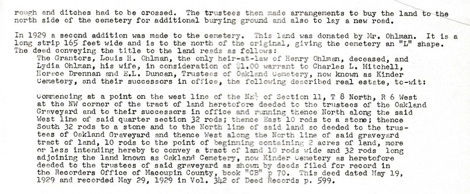
In 1929 a second addition was made — a long strip 165 feet wide along the north of the original ground, giving the cemetery its distinctive “L” shape. This land was donated by Louis H. Ohlman (heir of Henry Ohlman) and his wife Lydia, for one dollar, to trustees Charles L. Mitchell, Horace Drennan, and E. L. Duncan. By this time the burial ground once known as Oakland Cemetery had become known as Kinder Cemetery.
How the burials were recorded: the 1977 survey
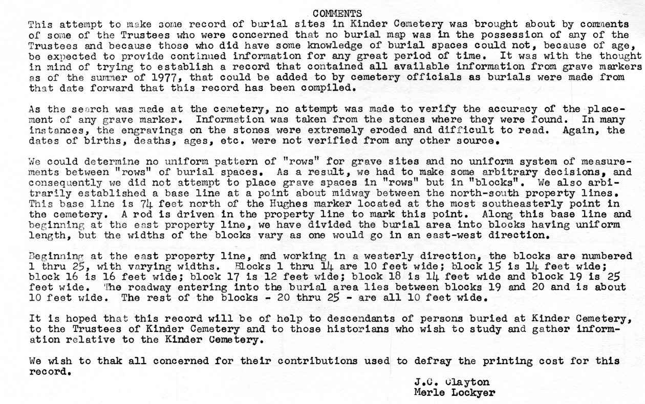
In the summer of 1977, the cemetery's trustees became concerned that no burial map existed and that those who remembered where people were buried could not, because of age, be expected to preserve that knowledge much longer. They set out to record all available information from the grave markers, so it could be added to as future burials were made.
The people who made the survey were candid about its limits: the placement of markers was not independently verified, many engravings were “extremely eroded and difficult to read,” and the dates of birth, death, and age were taken from the stones alone, not confirmed from any other source. This is why a number of entries in the Burial Directory are marked as still needing to be checked.
Because there was no consistent pattern of rows, the surveyors divided the grounds into blocks instead. A base line was set about midway between the north and south property lines — 74 feet north of the Hughes marker, at the cemetery's most southeasterly point. Beginning at the east property line and working west, the blocks were numbered 1 through 25. A plot code such as 23N therefore means block 23, on the north side of that base line. You can see how the blocks are laid out on the Cemetery Maps.
The 1977 record was compiled by J. C. Clayton and Merle Lockyer, with the hope that it would help the descendants of those buried here, the trustees of the cemetery, and historians studying the area. This website continues that work by making the record fully searchable.
Transcribed from the cemetery's printed history booklet. View the original pages: Early History (1) · Early History (2) · Comments & the 1977 survey · cover · inside cover · inside back · back.